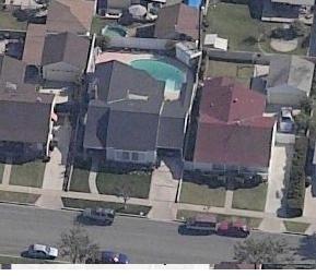
WTH? did I take this picture of my friend’s house from the sky front and back? No, it came from the amazing new Windows Live Local service (Formerly Virtual Earth) I mentioned before, now whenever you see the map of some big cities you can see them in bird’s eye’s view. with that you can see any place front and back as if the picture is taken from the sky. The technology used is called Pictometry, its images are taken at a 40 degree angle using a patented process, and it’s widely used by local and state Governments, including police and fire departments. Now everybody can give it a try now to see the all the places around us for free.

